The Dead Zone
Introduction | Mapping/Graphing Activities | Data Files | Other Activities | Glossary | Websites
Activity #3: Constructing a master location map using transects and stations – Student groups
Whole class
Introduction/Purpose:
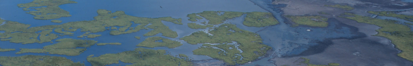
In the field, scientists take samples in a methodical way along the same transect lines and station sites. Data are often presented on a map of the study area. For studies that cover a large area, data collecting stations can be plotted by latitude and longitude. The class will construct a master map with transects and stations labeled. This map will be used for Activities #4 and 5.
Objective:
Each student will:
- Use latitude and longitude to plot his/her station location(s) on a master map.
Standards:
- Grades 6-8: G-6-M
- Grades 9-12: G-3-H
- Skills: Measuring, communicating, geography, interpreting data, math, formulating models and using data
Materials:
- Station data sheets
- Ruler
- Pencils, colored pencils
- Graph paper
- Enlarged map of Louisiana’s offshore area with grid and longitude and latitude labeled.
(* Need help Changing Latitude & Longitude to Distance Units?)
Procedure:
- Each student plots and labels his/her station location on the class master map. These locations will be used for Activities #4 and 5.
- Students will check station plots for correct location.
Note: When you are mapping, remember, the latitude and longitude on the data sheet are presented as degrees, minutes and hundredths of a minute only. For example, 28: 52.56′ reads 28E and 52.56 minutes (not 52 minutes and 56 seconds).
Questions:
- What kind of errors are possible while plotting latitude and longitude?