The Dead Zone
Introduction | Mapping/Graphing Activities | Data Files | Other Activities | Glossary | Websites
Activity #4: Mapping the area of the dead zone – Student groups or whole class
Student groups
Introduction/Purpose:
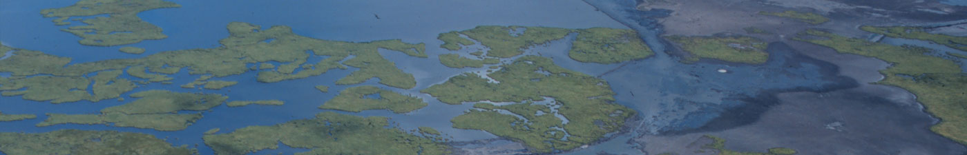
Scientists and interested citizens gain a better understanding of the dead zone and visualize its size, location and shape of environmental conditions when data are plotted on a graph, chart or map. A map showing the areal extent of the dead zone can be developed by plotting the stations where it has been observed.
Objective:
In groups the student will:
- Construct a data table that identifies all stations with hypoxic conditions.
- Plot the area covered by the dead zone on a map.
- Estimate the area of the dead zone.
- Use other sources to compare the area of the dead zone at other times.
Science and Math Standards:
- Grades 6-8: SI-M-A4, M-1-M, M-6-M, G-4-M, G-7-M, D-1-M
- Grades 9-12: SI-H-A3, M-2-H, M-3-H, G-2-H, D-7-H
- Skills: Measuring, communicating, interpreting data, formulating models, graphing and interpolating.
Materials:
- Louisiana offshore map with stations marked and enlarged to 11″ x 17″ or greater
- Data tables for transect/stations
- Pencils, Colored pencils
- Paper
- Calculator
- Ruler
Procedure:
- Each group lists stations in their transects which have hypoxic conditions.
- As a class, construct data table that lists all stations with hypoxic conditions.
- Determine a map scale.
- Enlarge the station location map from Activity #3 to map scale if necessary.
- Locate stations that are hypoxic on the map and circle them in red.
- Interpolate between perimeter stations to draw the perimeter and shade in the entire area of the dead zone.
- In groups estimate the size of the area that has been mapped.
- As a class, discuss and compare area estimations and methods each group used.
- Answer questions following the activity.
Questions:
- What is the range of the estimated area of the dead zone among groups? Compare the estimated area to another area that you are more familiar with such as the size of a state or country.
- Compare your area map to the other mapped areas of the dead zone that you find on the Internet and in reports. How does the shape change from year to year?
See http://oceanservice.noaa.gov/products/pubs_hypox.html “Hypoxia Assessment Studies Topic 1″)- Which areas seem to be consistently hypoxic in the summer? Which areas seem to be consistently healthy? State some reasons why this may be so.
- Over time, has the dead zone changed in size and location? If so, in which direction does the dead zone appear to be changing?
- Why does the area of the dead zone change every year?
- What factors affect the shape and size of the dead zone?
- Compare the size of the dead zone with other states/countries. What percent of Louisiana’s land area would the dead zone area cover if it were on land?