Education at Home Resources
Digital Resources | Citizen Science | Lessons | Other Resources for Kids
Digital Resources
Explore graphs and maps of historical and projected climate variables for any country in the contiguous United States.
NOAA Historical Hurricane Tracks
Use this interactive mapping tool to view, analyze, and share historical hurricane tracking information.
NOAA National Weather Service Riverine Flood Inundation Maps
These online interactive maps help users visualize where inundation will affect their communities. When flood forecasts are released by the National Weather Service, officials can use these maps to scroll through the different river flood stages to see how inundation could impact local roads, infrastructure, and resources.
Use this web mapping tool to visualize community-level impacts from coastal flooding or sea level rise (up to 10 feet above average high tides).
View real-time, forecasted, and historical water level information to understand near-term inundation risks, such as impacts from tropical cyclones or nor’easters, and longer-term risks, such as high tide flooding and sea level rise.
The RECOVER Virtual Lab shows how scientists measure the effect oil spills have on fish.
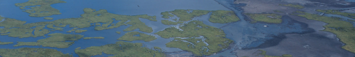
USGS Coastal Change Hazards Portal
This portal provides scientifically credible data suitable for use in land use planning projects, storm response and recovery protocols, and infrastructure, ecosystem, and cultural resource management decision-making. Resources are organized under three coastal hazard themes: extreme storms, shoreline change, and sea level rise.